Enjoying the Grand River Watershed: Connecting Water with Life
The Lower Grand River Watershed covers the lower portion of the Grand River that drains into Lake Michigan from Ionia County. There are many subwatersheds within the Lower Grand River Watershed. You can find your watershed using the Find My Watershed tool. The Grand River is the longest river in Michigan, spanning 252 miles, and was named O-wash-ta-nong, meaning Far-Away-Water, by Native Americans who lived there prior to settlement.
A “watershed” is an area of land, defined by hills and ridges that drain to a common body of water. Groundwater and surface water are connected within a watershed, and both supply our drinking water, agricultural irrigation, and manufacturing processes. The Lower Grand River watershed offers opportunities for recreation, like fishing and paddling, and provides vital habitat to plants and animals.
Mission & Vision
Understand, protect and improve the natural resources of the Lower Grand River Watershed for all to enjoy. Our vision is to Connect water with life.
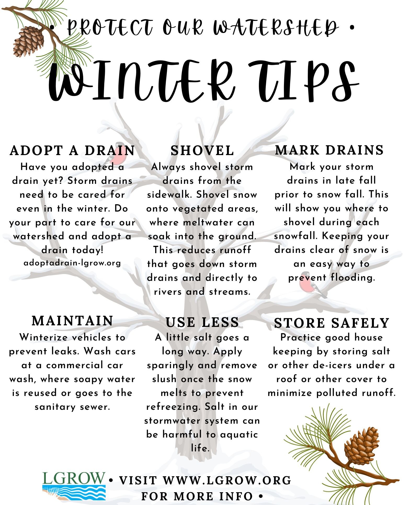
Watershed News


USGS Grand River Height Downtown Grand Rapids, MI
Kent County, Michigan
Hydrologic Unit Code 04050006
Latitude 42°57'52", Longitude 85°40'35" NAD27
Drainage area 4,900 square miles
Gage datum 585.70 feet above NGVD29
This station is managed by the LANSING FIELD OFFICE.
USGS Grand River Data at North Park Street NE at Grand Rapids, MI
The new gage provides data on river level, temperature, dissolved oxygen, specific conductance, and turbidity.
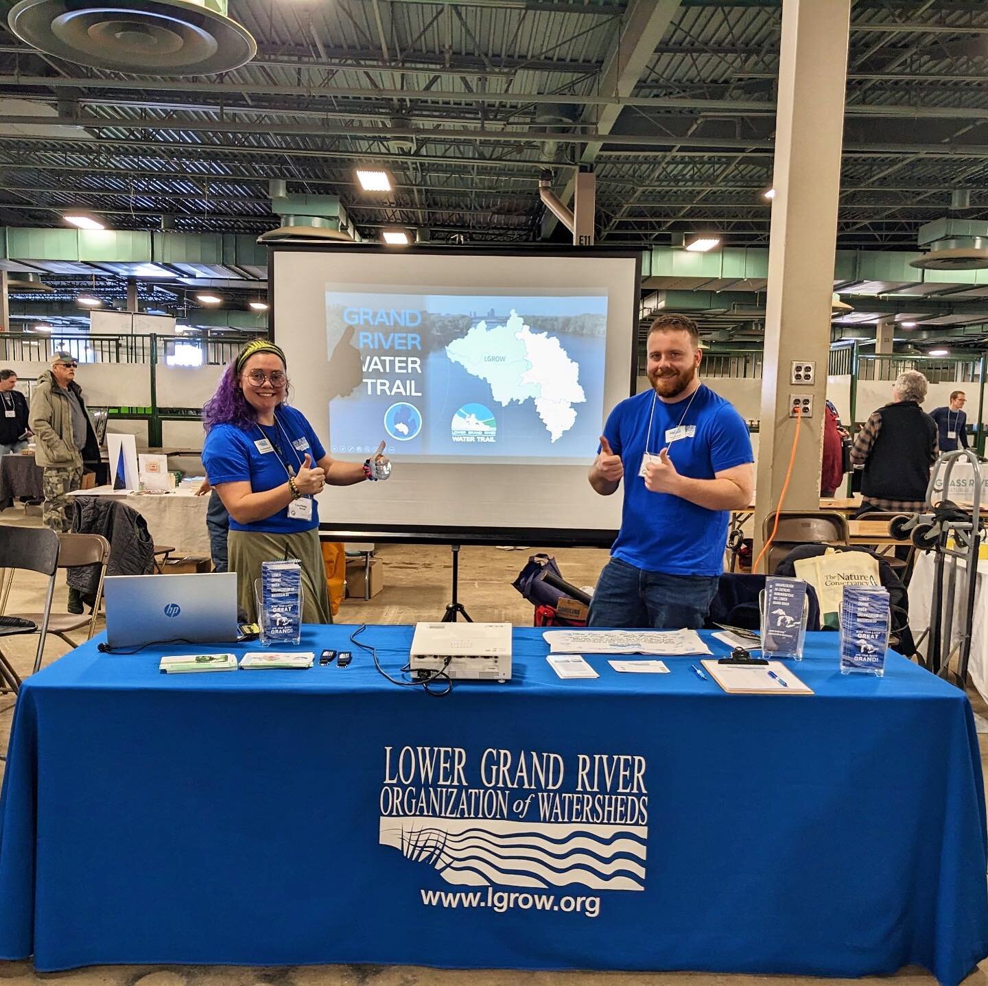
Photo Gallery
Instagram @LGROW_org