Updates to the E. coli Pollution and Solution Mapper
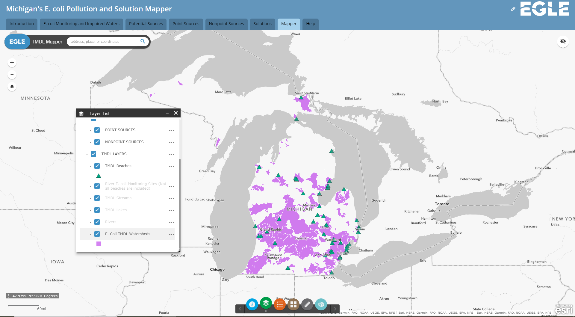
Several layers in Michigan's E. coli Pollution and Solution Mapper have been updated in order to provide the most up-to-date information. The interactive mapper supports the Statewide E. coli TMDL by providing access to E. coli monitoring results, locations of impaired waters, and information about the potential sources and solutions to bacterial pollution. The below updated information can be accessed in the Mapper tab and in the Solutions subject tab:
Approved TMDL watersheds have been updated to include the newly approved 2020 Addendum to the Statewide E. coli TMDL. These watersheds define the areas used for implementation of the TMDLs in permits and nonpoint source programs.
The number of Michigan Agriculture Environmental Assurance Program verifications have been updated and are now available at the township level (previously the data were county level).
The approved Watershed Management Plan (WMP) layer has been updated to reflect the approval of the Upper Pine and Little Manistee WMPs.
Contact: Molly Rippke (517-342-4419)

